Telling Stories and Making Sense of the World with Maps

How We See the World Shapes Us
About me
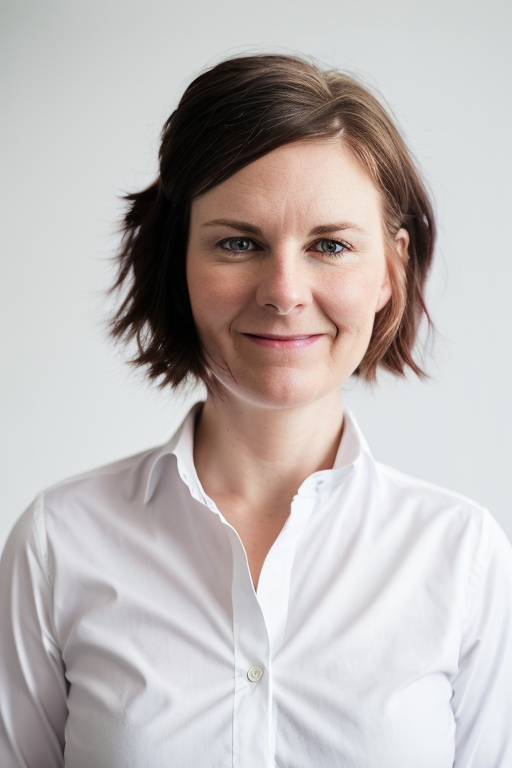
I’m Emily Cheadle, a GIS professional with over a decade of experience helping organizations unlock the power of spatial data. I’ve managed the New York Protected Areas Database (NYPAD), mapped ecological communities across state parks, and partnered with federal, state, and nonprofit organizations to deliver high-quality maps and analyses.
I specialize in bridging technical expertise with real-world applications; whether it’s advancing conservation goals, supporting local planning, or making data more accessible through interactive mapping tools.
Follow me on social
Contact me
Interested in working together? Fill out some info and I will be in touch shortly. I can’t wait to hear from you!

